Acuity Geo

Projects

Current and completed work across Saint Lucia and the wider Eastern Caribbean.

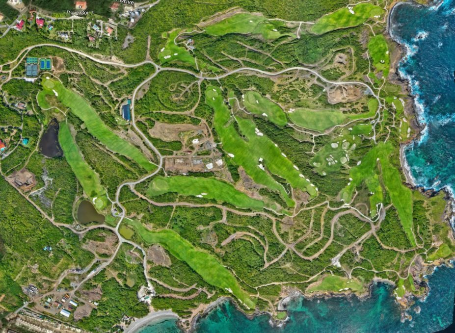
Cabot Saint Lucia

300-Acre Golf Resort and Residential Development
2021 – Present

Primary Survey Provider

Primary survey provider across the entire site since 2021, covering boundary survey, topographic survey, UAV mapping and as-built verification as the development has proceeded. We also manage the site masterplan, maintaining the spatial record that the design and construction teams work from.
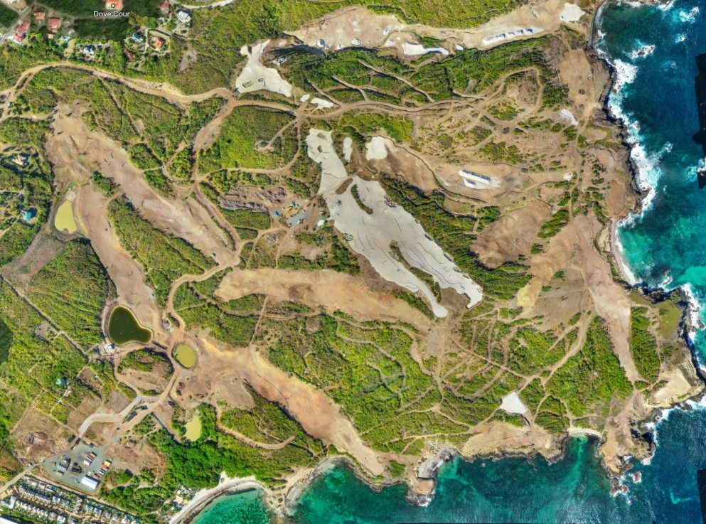
Cabot Saint Lucia site, 20222022
Cabot Saint Lucia site, 20242024
The same ground two years apart, from site-wide drone mapping.

Hewanorra International Airport

International Airport Redevelopment
2023; 2025 – Present

Topographic and As-Built Survey

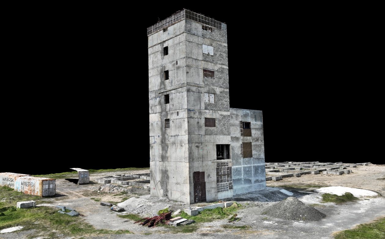
Topographic survey of the runway approach and periphery in 2023, and survey support to the air traffic control tower rehabilitation from 2025.

3D capture of the air traffic control tower at Hewanorra International Airport
3D capture of the air traffic control tower.

Rodney Bay City Centre

Waterfront Commercial Development
2025 – 2026

As-Built and Construction Layout

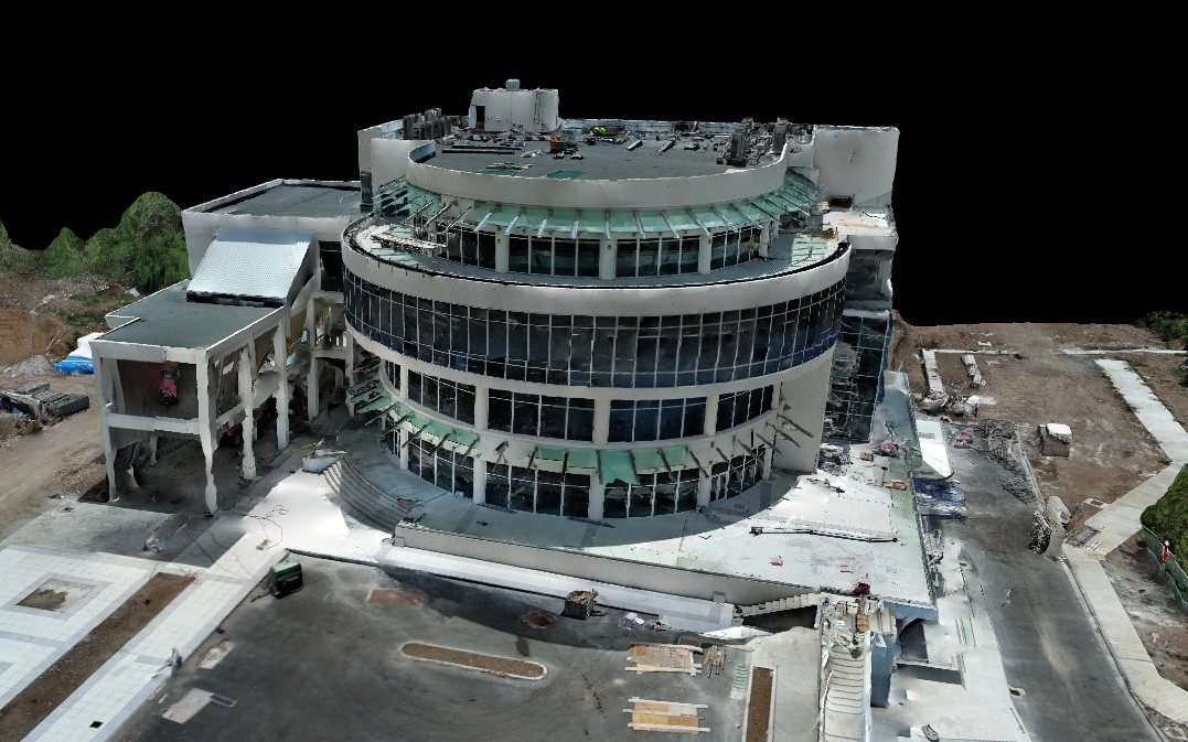
As-built survey and construction layout for a five-storey commercial centre, working to structural tolerance alongside the contractor's programme on a live site.

3D capture of Rodney Bay City Centre
3D capture of the commercial centre.

Solid Waste Management Facility

National Waste Infrastructure
Current

Surveys and GIS Data Collection for Feasibility Study

Survey and GIS data collection in support of a feasibility study for a national solid waste management facility.

John Compton Dam Desilting

National Water Infrastructure Rehabilitation
2019 – 2020

Topographic Survey and Bathymetric Survey Analysis

Survey of dykes and excavation areas for surface model generation, with analysis of surfaces, volume and capacity across the silt impoundment area. We verified the bathymetric survey works reported by consultants, and established the reporting standards used by the project's consultants.

Fly-through of the 3D model of the desilting works.

EQuIP School Rehabilitation

Education Quality Improvement Project
Nine Sites
2020

Topographic and Drainage Survey

Topographic survey of nine school sites, providing survey-grade detail across all or part of each site, with drainage mapping to support flood mitigation design and drone capture on requested sites.

Fly-through of the as-built 3D model of one of the school sites.

Georgetown Seawall

Coastal Protection Works
St. Vincent and the Grenadines
2020 – 2021

GPS Control and Capacity Building

Establishment of GPS control for the seawall alignment and coastal infrastructure, with survey equipment provided for the duration. We trained local personnel to carry out the daily setting-out tasks, leaving capability behind on completion.

3D capture of the Georgetown seawall

Cul-de-Sac Flood Basin Mitigation

Drainage Assessment and Design Phases
2016 – 2017

Principal Surveyor and Project Manager

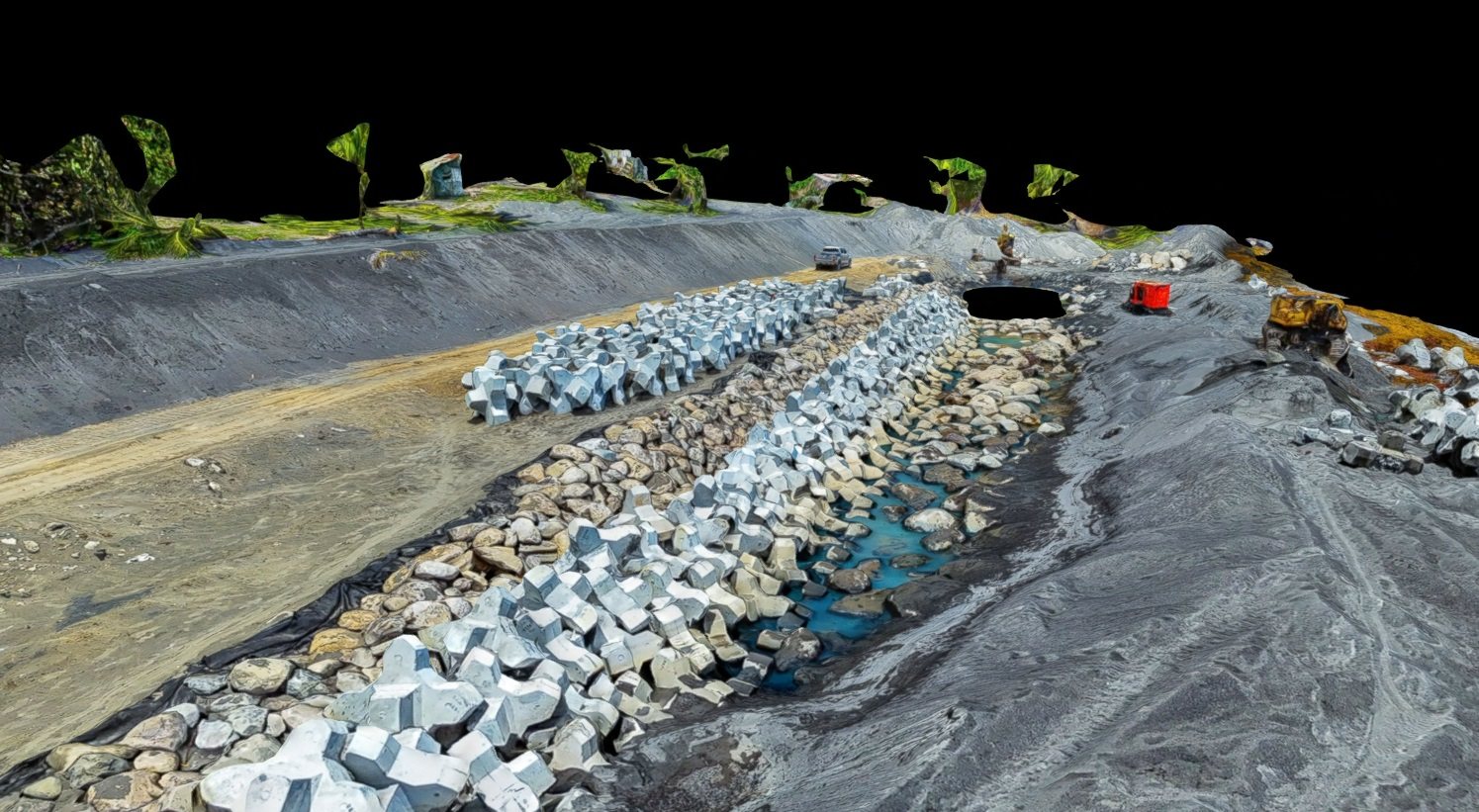
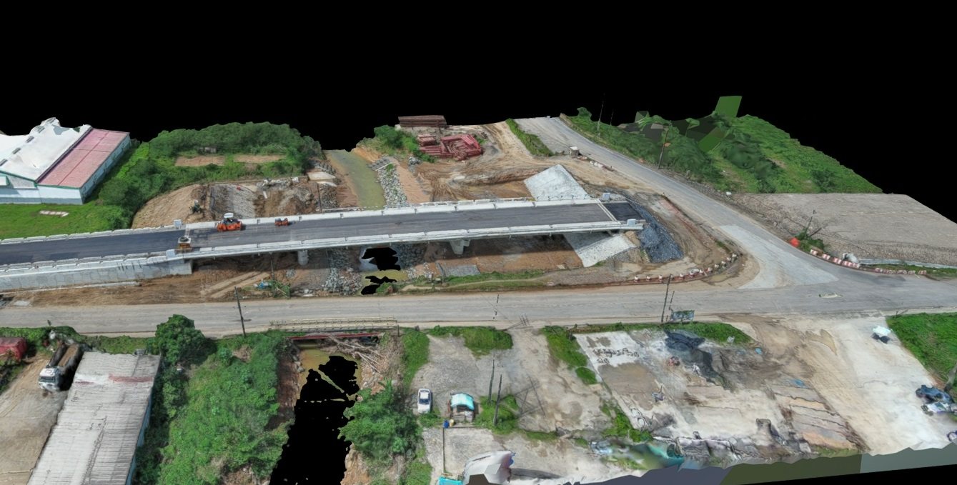
Survey of 3.5 km of river bed and banks together with the surrounding floodplain, and detail survey at three bridge locations to support the engineering design.

3D capture of the Cul-de-Sac bridge area
3D capture of the Cul-de-Sac bridge area.

Alongside these we carry out general topographic survey, and residential and commercial boundary survey, across Saint Lucia.

Tell Us What You Need to Have
Measured or Mapped

Tell us about the project and the question you need answered, and we will share with you how we would approach it.

Contact us

3D model